What We Do
- Hits: 191

FAST, COST-EFFECTIVE AND VERSATILE LAND STREAMER SEISMIC SERVICES
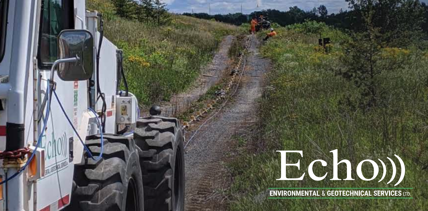
Echo’s seismic group provides a comprehensive suite of unique and innovative solutions in the field of land based seismic services.
Echo Geotechnical delivers continuous, high resolution, multi-attribute subsurface profiles, reducing risk and optimizing opportunities.
At Echo Geotechnical, we know our clients need as much data as possible before they drill, dig or load their sites. Our equipment is non-intrusive, quick and accurate. Discrete drill holes and cone penetration tests (CPT) leave significant gaps in knowledge especially given the complexity of the subsurface and the cost of undetected hazards.
- Echo Geotech has a proven configuration for land streamer operations thanks to its association with international seismic experts.
The IVI Envirovibe as an Energy Source
- Equipped with real-time GPS for high-resolution location information.
- Can be configured either vertically (to generate P-waves) or horizontally (S-waves).
- Recording technology installed in the cab along with industry-leading vibrator control systems.
- The 24-bit recording system is capable of sample rates as low as 0.5ms.
The Land Streamer
- Consists of 72 3-component receivers on steel sledges.
- Spacing of geophones can be altered to provide the optimal spread for a given target objective.
Our Crew
- The operator of the Envirovibe is also the recording observer to minimize the number of personnel needed and lower operating costs.
- A 2–3-person crew is easier to mobilize within North America for fast deployments.
- All equipment needed can be contained on a single trailer.
PROJECT DESIGN AND EXECUTION
Even though our land streamer was specifically developed to acquire the full wavefield seismic, by recording all 3 components of the returning energy we can concurrently perform P & S wave reflection, refraction AND MASW as project objectives.
All data acquisition is exclusively acquired using Echo’s own equipment and personnel. Data processing and interpretation is designed based on the requirements of any given project. We process these data ourselves using a full suite of state-of-the art reflection, refraction and surface wave algorithms as well as visualization tools to accurately image the subsurface along profiles including Shear and P wave velocities and depths.
OUR APPROACH
Reflection Survey
- 2D laterally continuous profiles of subsurface structure to tie any penetration tests or to guide potential drill locations.
P-wave
- Proven method for mapping the subsurface from shallow water resources to deep structures.
- Can perform imaging from approximately 40 m below the surface to extreme depths.
- ~5 m resolution for shallow targets (40-600m below surface).
- Uses: water resource mapping, fault detection, void detection and containment mapping.
S-wave
- Uses the horizontal configuration of the Envirovibe. (SH)
- Generates enough P-waves for refraction and p-wave reflection profiles because of the full wavefield (3-component) geophones we deploy.
- Offers shallow mapping (a few meters) below the surface to provide a high-resolution image of the subsurface.
- ~1m resolution for targets 5 – 150 m below the surface.
- Uses: water resources mapping, soil strength and stratigraphy.
Refraction
- Refraction seismic analysis can be performed on any reflection data set if we include specialized equipment.
- Provides a gradual velocity variation, both horizontally and vertically, by using tomographic inversion on the first break picks.
- Uses: map bedrock depths and low-velocity zones accurately.
Multichannel Analysis of Surface Wave (MASW)
- Uses surface waves to construct a 2D image of the subsurface to a 30m depth.
- Provides shear velocities that can be used to estimate the shear modulus (G or µ) of the shallow subsurface for geotechnical engineers in their evaluations.
- Uses: provide shear velocity along 2D profiles between the boreholes identity abrupt changes in sheer strength.
